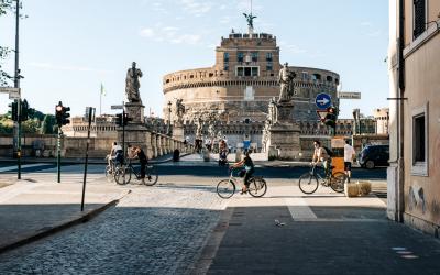
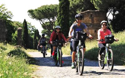
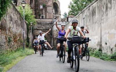
To enjoy the beauty of Rome and its surroundings in a gentle and sustainable way, nothing can beat a bike ride
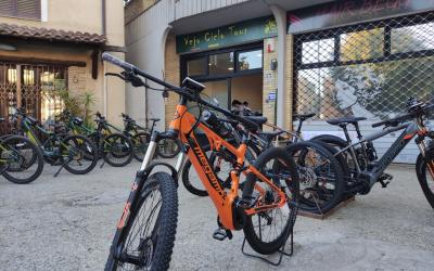
The capital offers an extensive network of cycle paths - over 390 km - about half of which cross parks and green areas and run along the course of the Tiber and Aniene rivers. For those who do not have their own bicycle, it is possible to rent one at one of the many city Bike Rent points (www.060608.it), choosing between city bikes, mountain bikes and electric bikes with pedal assistance. Bicycles can also be loaded on board the city's public transport, metro buses and trains; for all the information on inter-modality in the capital, visit this page. Below are some of the main cycle routes of Tiberland.
Tiberina cycle path: from Castel Giubileo to the sea
Length: 55 km - Suitable for all types of bikes
The itinerary allows you to cross the city from north to south, it can also be traveled in the opposite direction and can be divided into three stages. The first section starts from the Castel Giubileo dam to cross the residential area of Tor di Quinto and continue along the river bank crossing the historic center up to the Tiber Island.
For the second part we continue along the Tiber up to the Magliana river park where the itinerary leaves the right bank of the river to move to the opposite bank, entering an increasingly natural environment and reaching Ponte Galeria. From here, for the third and final stage, we proceed parallel to the via Portuense, skirting the archaeological area of the Imperial Ports of Claudius and Trajan, to conclude with the arrival at the sea at the port of Fiumicino.
Download the gpx track of the route Labaro-Isola Tiberina
Download the gpx track of the route Isola Tiberina - Ponte Galeria
Download the gpx track of the route Galeria - Fiumicino
Porta Portese Bike Ring
Length: 16 km - Suitable for all types of bikes
An easy circular route, which begins and ends at Porta Portese, to discover the historic districts of Rome. The itinerary includes several stops at the main monuments of the ancient city, including the Circus Maximus, the Aurelian Walls and the Via Appia, but also in the most iconic places of popular Rome.
Pedaling on secondary roads and lanes, you cross some green areas of the city, including Villa Celimontana on the Celio hill, to then immerse yourself in the lively atmosphere of the Ostiense, Garbatella and Testaccio districts where you can breathe the truest soul of the capital.
Download the gpx track of the route
The Waterway. From Fiano Romano to Rome
Length: 30 km, hybrid bike
An itinerary along the waterways and the Umbrian and Lazio countryside connects the Spoletana Valley, the Nera Valley and the Tiber Valley, joining two important centers of Christianity, Assisi and Rome.
The route meets the territories of Tiberland in the last stage, at the height of Fiano Romano where you pedal on asphalt along the director of the Via Tiberina, touching the exceptional archaeological site of Lucus Feroniae. Once in the Labaro district, it joins up with the Tiberina cycle path which, skirting the banks of the Tiber, leads to the city centre.
Download the gpx track of the route
The Via Francigena
Recognized as a Great European Cultural Itinerary, the Via Francigena is a fascinating route that crosses three nations and combines history, culture and nature. The route has two different official routes, on foot and by bike, and runs through the Tiberland area in the last two stages.
For those who use two wheels, given the variety of road surfaces, a hybrid bike is recommended.
- From Sutri to Formello – Length 34 km
In this stage, from the village of Sutri, you cross the Tuscia countryside up to Monterosi. Continue to the Treja Valley and the Monte Gelato waterfalls, to then enter the Veio Park area. After Campagnano, continue along the Baccano Valley and then in the green Sorbo Valley until you reach Formello.
Download the gpx track of the route
- From Formello to Rome - Length 35 km
From the historic center of Formello, follow the route that crosses the Roman countryside and continues, for short stretches, along secondary roads and some urban parks. Once in the northern area of Rome, you can easily reach the start of the Tiberina cycle path. From here, walking along the river, you get to the Vatican City and St. Peter's Basilica.
Download the gpx track of the route
Parco di Veio Bike Ring
Length: 37km, 650m elevation gain +
A pleasant itinerary that touches four municipalities in the territory of the Veio Park: Morlupo, Castelnuovo di Porto, Sacrofano and Formello. The departure can take place indifferently from each of the countries and the route without particular difficulties is suitable for two-wheel enthusiasts of all ages.
Download the gpx track of the route
Tiberland Bike Ring
Length: 58km, 1400m elevation gain +
A more demanding circular route that joins five municipalities in the Tiberland area inside and outside the Veio Park. Pedaling between Morlupo, Magliano Romano, Rignano Flaminio, Capena and Fiano Romano you will come across important historical and archaeological evidence and you will cross natural landscapes of great environmental value, still little known.
Download the gpx track of the route


